
Infrastructure Survey & Field Workforce Management Software
Contact our sales team
×
Monitor infrastructure survey operations live
Infrastructure survey workforce management is the process of planning, tracking, and verifying field survey activities across construction sites, utility corridors, highways, telecom routes, and industrial assets.
TaskEye helps survey teams improve workforce visibility, validate field inspections, and maintain accurate, geo-verified survey records through a centralised survey workforce management platform that enhances field verification, reporting accuracy, and operational visibility.
Contact our sales team
×Built for infrastructure survey & field operations teams
Connecting infrastructure survey teams through a single platform to coordinate field activities, improve survey accuracy, and maintain operational visibility across every project stage.
Challenges in infrastructure survey & field workforce operations
Infrastructure survey operations become difficult when multiple survey teams work across remote locations, time-bound projects, and large infrastructure corridors. Without a connected workforce management platform, organisations face reporting delays, inconsistent survey records, workforce coordination challenges, and limited visibility into field activities.
Manage infrastructure survey workforce & field operations in real time
Simplify infrastructure survey operations with a workforce management platform that centralises survey activities, workforce tracking, inspection reporting, and field verification. TaskEye provides real-time visibility into survey crews, project progress, GPS-based activities, and performance through one connected platform.
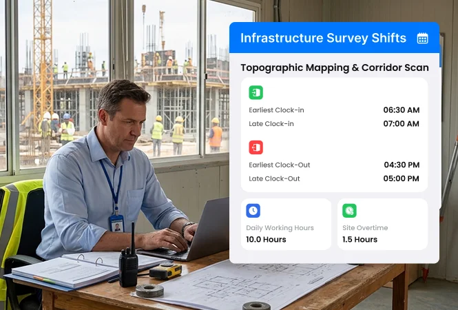
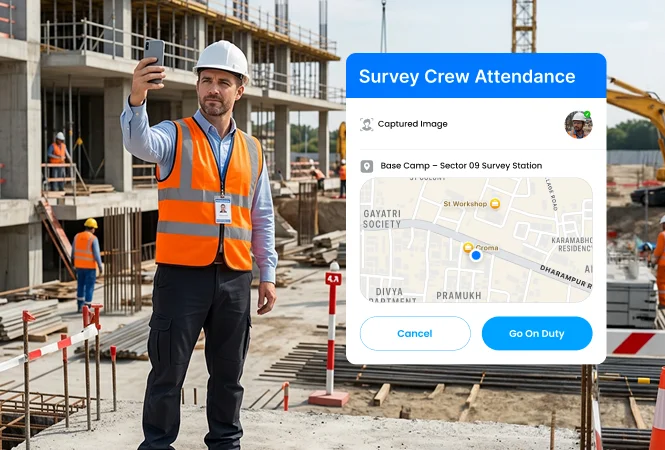
Verify survey workforce attendance in real time
Stop proxy attendance, fake login attempts, and unverified survey crew reporting at remote infrastructure locations. Maintain systematic records of attendance, payroll, leave, and surveyor availability, with real-time duty status tracking.
-
Geofencing attendance verification -
Face-scan & biometric-based attendance -
Surveyor on-duty/off-duty status tracking
Manage multi-site survey crew scheduling
Reduce conflicting surveyor schedules, workforce availability confusion, unassigned inspection locations, and idle field survey crews' productivity losses. Assign staff based on their expertise, current location, and proximity via a centralised shift scheduler.
-
Skill-based survey crew allocation -
Zone-wise surveyor shift scheduling -
Automatic shift reassignment tracking
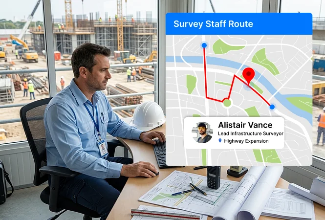
Track survey journeys with GPS tracking
Avoid unauthorised field movements and incomplete infrastructure right-of-way (ROW) zone coverage with a live GPS tracking system. Track travel distance, on-site movements, and journey checkpoints while maintaining transparent travel records.
-
Live field survey activity tracking -
Real-time journey checkpoint monitoring -
Odometer-based travel records
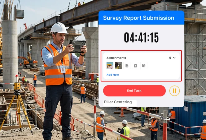
Validate real-time field survey inspection proofs
Prevent false survey updates, off-site uploads, and duplicate survey reporting from unauthorised infrastructure locations. Maintain a transparent record of on-site photos, videos, and other media files to comply with infrastructure safety standards.
-
Checkpoint-based survey proofs -
Geo-tagged survey verifications -
Digital infrastructure inspection records
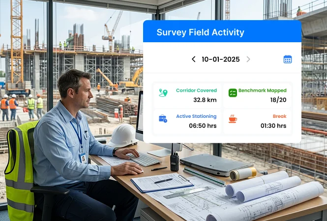
Track infrastructure project progress live
Minimise survey inspection delays due to uncertainties about current location, project progress, and survey crew member travel across multiple assigned locations. Track project survey status & field activities via a live activity tracking screen.
-
Live survey workforce tracking -
Project-wise survey status updates -
Real-time survey activity monitoring
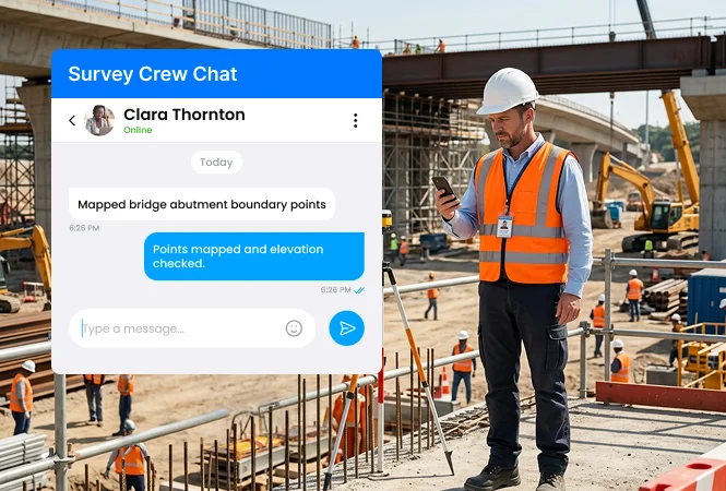
Enable seamless survey operation coordination
Eliminate miscommunications, delayed on-site task updates, instruction delivery, and poor coordination between on-site survey teams and inspection supervisors. Send survey activity instructions via WhatsApp and Telegram API integrations.
-
Real-time task-linked survey communication -
Location-based alerts & update sharing -
Survey instruction communication via internal chat
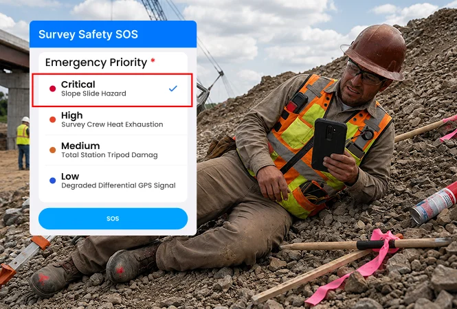
Monitor field survey incidents in real-time
Eliminate delayed emergency response, unreported site hazards, and unmanaged safety incidents in high-risk infrastructure survey areas. Receive real-time, GPS-based incident proofs and ensure compliance with emergency safety protocols.
-
Instant SOS alert notifications -
Live incident severity monitoring -
Bluetooth Low Energy (BLE) alerts
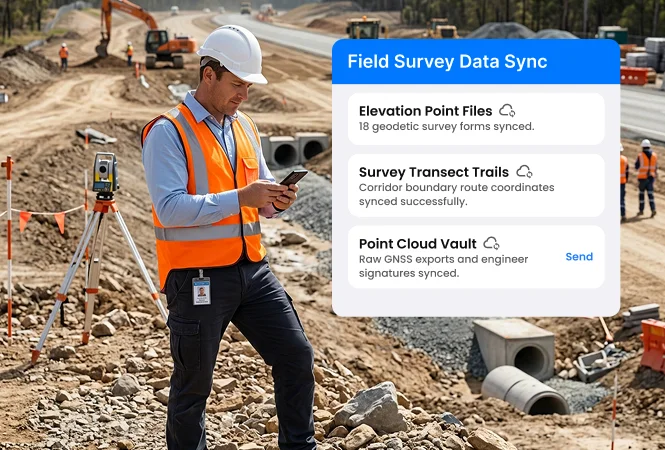
Capture and sync field survey data offline
Prevent data loss, incomplete reporting, and survey operation interruptions due to poor internet connectivity when crews operate in tunnels, valleys, or remote areas. Continue tracking GPS logins, survey activities, attendance records, and field task updates.
-
Offline survey activity tracking -
Auto-synced captured on-site survey records -
Uninterrupted survey operation reporting
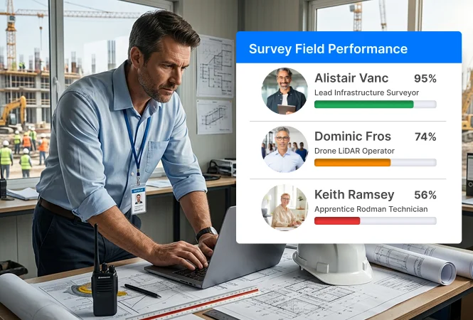
Analyse survey staff performance quality
Identify delayed survey visits and inconsistencies in field survey quality across infrastructure projects. Analyse survey crew efficiency, inspection completion trends, and performance with digital, auto-generated daily performance reports (DAR).
-
Star-based top-performing survey staff analysis -
Real-time survey coverage progress tracking -
Surveyor auto-generated performance reports
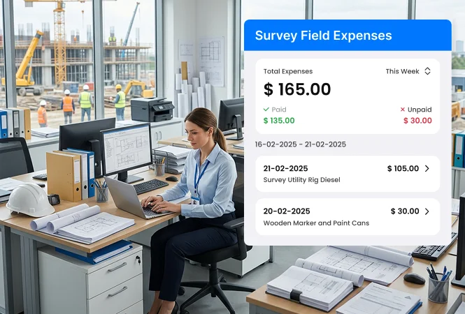
Track survey expenses with geo-tagged receipts
Prevent fake expense claims, unverified travel costs, and manual expense tracking errors with real-time survey expense management. Review on-site expense receipts, such as fuel, travel, and accommodations, with specific survey and project code.
-
Location-based expense verification -
Verified OCR expense receipt capture -
Accurate end-of-the month reimbursements
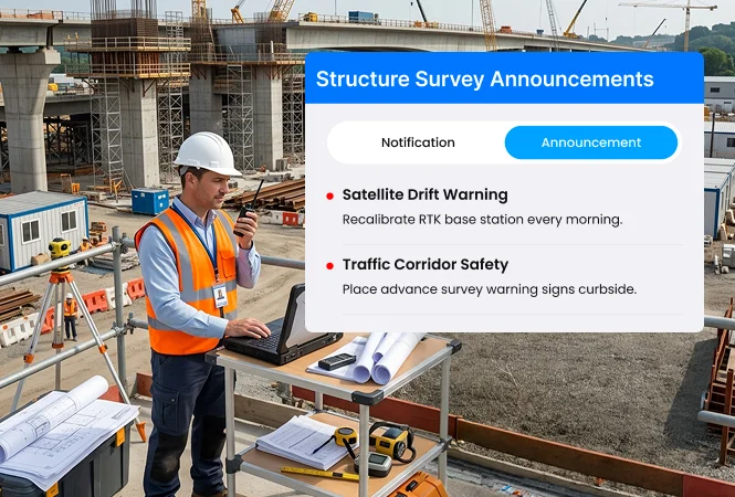
Broadcast real-time survey updates & instructions
Eliminate delays in delivering safety alerts, survey instructions, and visit completion updates by receiving acknowledgements for every target instruction, safety alert, and policy change, ensuring consistent execution of survey visits across projects.
-
Instant survey alert broadcasts -
Safety update delivery across multiple surveyors -
Real-time survey communication broadcasting
Scalable infrastructure field survey operations management software
Connect existing enterprise systems, customise survey workflows, and deploy a white-label platform built for infrastructure organisations and technology partners.
Launch your white-label infrastructure survey management platform today!
Contact our sales team
×
Measurable outcomes for infrastructure survey operations
Improvement in survey execution speed
Increase in survey team productivity
Reduction in field survey operation costs
Improvement in survey reporting accuracy
*Results shown are illustrative and may vary based on industry, workforce size, operational processes, deployment scope, user adoption, and implementation environment.
Track infrastructure survey operations from a single platform
Gain complete visibility into survey activities, field movement, geo-tagged site verification, inspection progress, asset mapping, and workforce deployment through an infrastructure survey workforce management platform.
Contact our sales team
×
Frequently asked Questions
Got queries? Check out the common FAQs below for complete clarity and get started with confidence!
Infrastructure survey workforce management is the process of planning, tracking, and managing field survey teams across construction sites, utility corridors, and infrastructure projects. It helps organisations improve workforce visibility, verify survey activities, and maintain accurate field records.
Right-of-Way (ROW) surveying is the process of measuring and mapping land designated for infrastructure projects such as roads, railways, pipelines, power lines, and telecom corridors. It helps verify corridor boundaries, support project planning, and ensure regulatory compliance.
TaskEye uses GPS-based live tracking, geo-fenced work zones, and time-stamped field activity logs to validate actual workforce presence in infrastructure survey locations. The app prevents a surveyor from opening an inspection form and beginning their assigned task unless they are physically within a preassigned location.
Yes. TaskEye is built for enterprise-scale infrastructure operations, ensuring centralised control of multiple survey teams across highways, rail corridors, utilities, and urban mapping projects—all from a single dashboard with real-time visibility.
TaskEye supports full offline data capture for survey activities, including GPS logs, field measurements, attendance, and photo evidence. As soon as they return to an area with internet connectivity, our app automatically syncs all the captured data, ensuring no critical survey data is ever lost or duplicated.
The TaskEye field employee app has an SOS alert button that allows field survey team members to send instant safety assistance alerts to their reporting managers in case of emergencies. If a field worker encounters a hazard or is injured in a remote location, they can trigger an instant alert that sends their exact GPS coordinates with incident proofs for real-time safety assistance.
Yes. TaskEye is integration-ready and has an open API (Application Programming Interface) that connects with ERP systems for project tracking, HRMS for workforce management, and GIS tools for geospatial validation.
Yes. You can provide view-only access or generate automated, professional PDF reports containing detailed real-time surveyor activity records for your clients. TaskEye is designed for high-compliance environments such as government infrastructure programs and EPC contracts, where transparency, geo-verified proof of work, and milestone-based reporting are mandatory for approvals and payments.