Search and Rescue Team and USAR Specialist Tracking Software
Contact our sales team
×
Track search and rescue teams and USAR specialists live
Get a real-time view of search teams, rescue crews, USAR specialists, and disaster response units with a single mobile field tracking console.
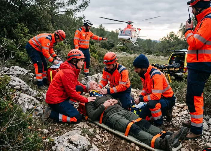
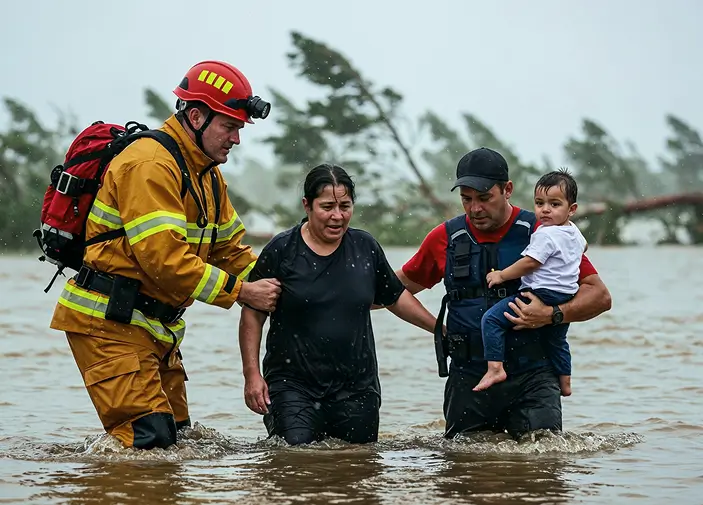
TaskEye’s search and rescue team tracking software helps monitor search grid deployments, technical extractions, field team movements, and survivor recovery operations in real time. This allows coordinating emergency response teams across disaster zones, remote terrain, and specialist rescue environments in real time.
Contact our sales team
×Built for search and rescue agencies, USAR task forces, and software partners
An integration-ready mobile platform designed for disaster management authorities, volunteer SAR associations, specialized USAR task forces, and software resellers to monitor field searchers, coordinate technical extractions, and verify sector clearances in real time.
Challenges in coordinating search and rescue crews and USAR specialists
Monitoring search and rescue crews across remote disaster zones, collapsed buildings, avalanche slopes, and vast wilderness grids is difficult without real-time workforce visibility. Unverified rescuer attendance logs, delayed extraction reporting, and untracked field responder movements create coordination gaps during emergency operations.
Manage your search teams and USAR crews in real time
Monitor search team locations, disaster rescue operation progress, field response team movements, and technical rescue missions with TaskEye’s search and rescue team management software.
Verify disaster response team presence across search and rescue sites
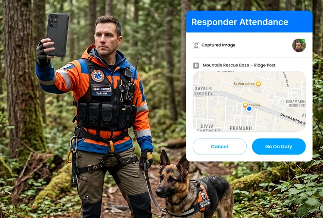
Reduce unverified attendance errors and confirm the presence of rescue teams and search field responders at emergency response and disaster sites. Field teams can verify their on-site presence by marking their attendance after entering the assigned location.
-
Geofenced search and rescue crew attendance records -
GPS-based tracking of evacuation team on-site presence -
Biometric and face-scan based team attendance marking
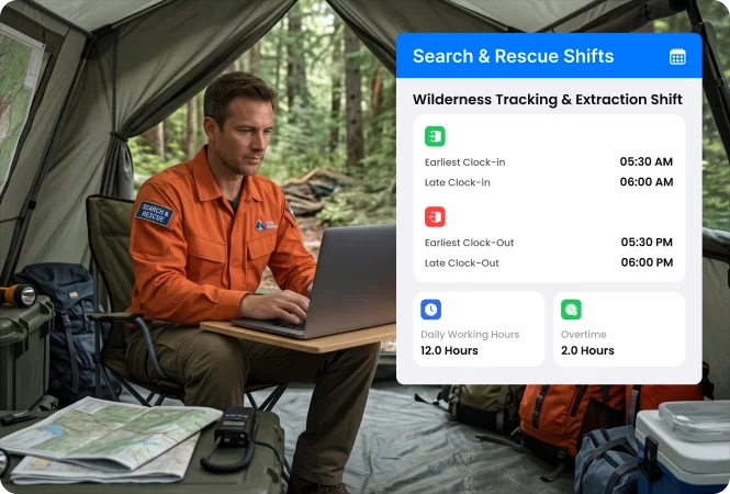
Schedule rescuer deployment rosters based on technical expertise and terrain callout priority
Assign emergency responder shifts according to mission requirements, terrain rescue expertise, and nearby search team availability. Reassign responders shifts during extended missing person searches, sudden mass-casualty incidents, and multi-day disaster operations.
-
Skill and proximity-based rescuer shift scheduling -
Automated shift scheduling for field search teams -
Quick rescue team reassignments via shift scheduler
Track field responder travel between search areas and people rescue sites
Track search and rescue operation crews travelling between base camps, extraction points, rescue locations, and remote search sectors. Monitor transit route deviations and blocked search & rescue pathways using an advanced route tracking system.
-
Rescue team travel distance & journey monitoring -
GPS-tracked routes for missing person search teams -
Search and rescue evacuation team checkpoint verifications
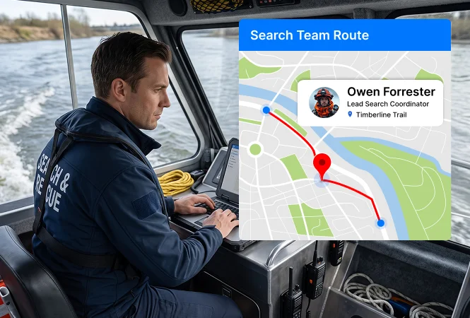
Monitor active rescuer locations and survivor recovery operations live
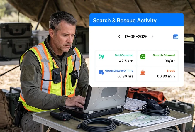
Monitor search operation teams, rescue mission crews, and disaster response teams operating across assigned areas with a live activity tracking system. Get real-time visibility into active grid searches, evacuation operations, and disaster affected rescue missions from a single platform.
-
Real-time field search team location tracking -
Rescue mission team deployment monitoring -
Search and rescue team operation progress status
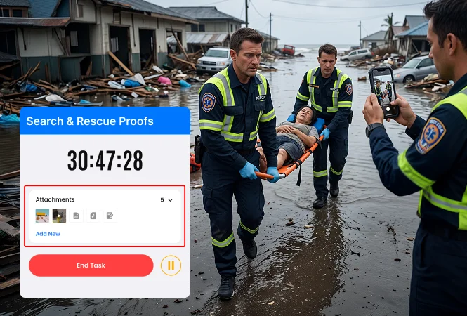
Verify completed search sweeps and rescue activities with digital records
Replace manual search and rescue operation reporting methods with time-stamped and location-verified photos, videos, and relevant documents. Verify completed search assignments, rescue activities, victim extraction, evacuation tasks, and structural damage assessments.
-
GPS-verified search operation completion proofs -
Time-stamped structural collapse assessment records -
Digitally verified victim rescue & extraction status logs
Track expenses incurred during emergency search and rescue missions
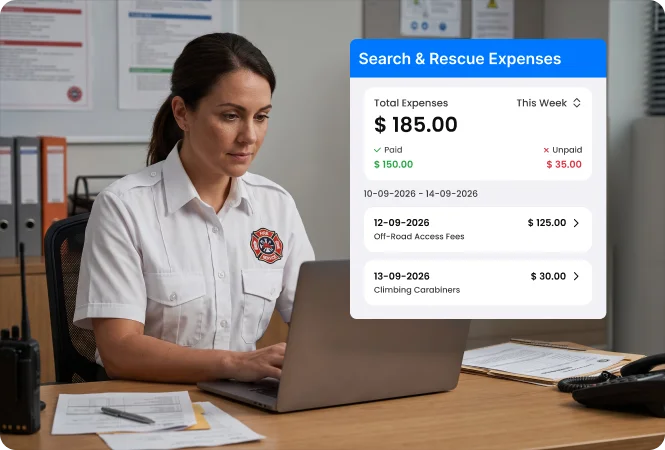
Monitor field expenses related to emergency fuel, transport permits, equipment servicing, and subsistence provisions incurred during prolonged search and rescue deployments. Verify expense claims with digitally verified, OCR-captured expense receipts.
-
OCR-captured rescue mission travel & search operation expenses -
GPS-verified expense receipt submissions for rescue operations -
Organised expense management of search mission operations
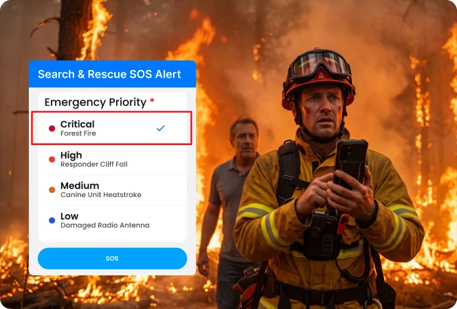
Track rescuer SOS distress alerts and avalanche emergency reporting
Enable search and rescue operation teams to send instant emergency alerts to emergency response coordinators while operating in remote locations, mountain or flooded rescue operations sites. Receive distressed responders’ emergency locations and incident evidence details on the dashboard.
-
Search and rescue operation team emergency location tracking -
Media evidence for remote rescue missions & search operations -
One-tap SOS and BLE (Bluetooth Low Energy) emergency alerts
Coordinate base commanders with search and rescue field teams across emergency sites
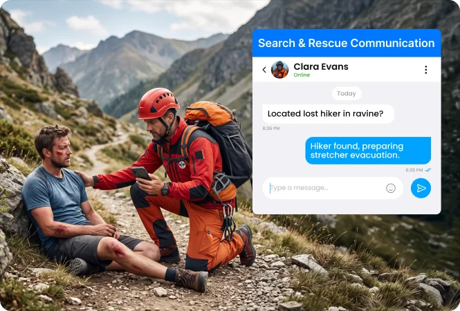
Maintain communication between field search leaders, rescue teams, base commanders, K9 handlers, and technical extraction units. Receive real time updates on search and rescue operation progress through a secure internal chat app.
-
Seamless communication between search and rescue teams -
Field response team coordination across assigned rescue sites -
Search and rescue mission-linked communication history records
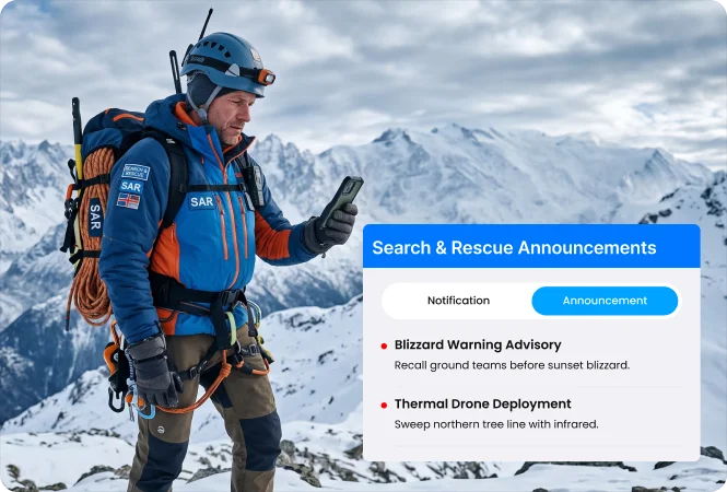
Share urgent safety guidelines and rescue operations instructions to field teams
Send urgent evacuation warnings, structural hazard protocols, rescue mission updates, and disaster response field team safety guidelines in real time. Verify that every response team member has received and acknowledged critical instructions through digital read receipts.
-
Search mission update sharing with disaster rescue field teams -
Urgent evacuation guideline sharing through message & WhatsApp -
Rescue mission and disaster safety warning acknowledgements
Evaluate search crew response across completed rescue operations
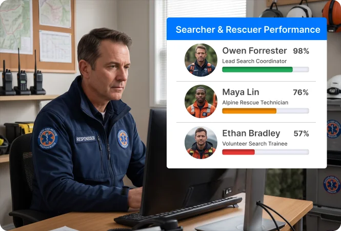
Analyse search team performance and response readiness using a star-based performance tracking dashboard. Evaluate assigned vs. completed mountain rescue, missing person searches, flooded area evacuations, and remotely stranded-person rescues.
-
Star-based performance tracking for search & rescue teams -
Search operation team response monitoring at disaster sites -
Rescue field team location tracking at remote response areas
Monitor search and rescue field teams in deep canyons, caves, and disaster basements
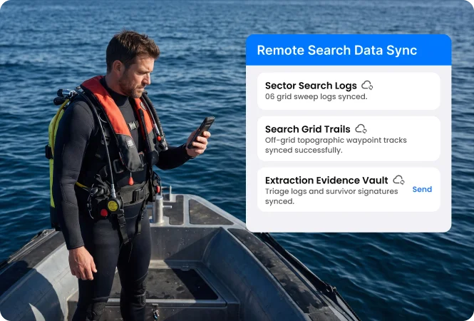
Allow emergency field responders to capture search and rescue operation proofs and log presence while operating at remote response locations without an internet connection. Data captured inside deep valleys, mountains, caves, and remote disaster zones syncs automatically when the network connectivity is restored.
-
Offline recorded search and rescue team activity data -
Automatically synced rescue mission operation proofs -
Accurate search & rescue activity records in remote locations
Scalable team tracking software for search and rescue task forces
An enterprise-ready emergency response workforce management platform built for coordinating field search teams, rescue operation crews, and extraction specialists across multiple rescue missions.
Measurable outcomes for search and rescue mission directors and incident commanders
Increased search team visibility across response sites
Reduced delays in sudden rescue response team arrivals
Increased coordination of search and rescue operation teams
Reduced unverified records of search and rescue operations
* Estimated operational improvements based on comparative field workforce management data across emergency deployment teams.
Accelerate search and rescue missions with real-time field team tracking software
Contact our sales team
×
Frequently asked Questions
Got queries? Check out the common FAQs below for complete clarity and get started with confidence!
Search and rescue (SAR) team tracking software is a mobile platform that monitors ground searchers, Urban Search and Rescue (USAR) technicians, K9 handlers, and alpine rescue crews in real time. Using GPS breadcrumb tracking, geofenced base camp check-ins, digital search grid clearance forms, and timestamped extraction verifications, it validates search sector coverage and eliminates delays during emergency rescue operations.
TaskEye enables mission coordinators and incident commanders to track field personnel through a centralized live web console. Commanders can monitor real-time rescuer GPS breadcrumbs, search sweep progress across assigned topographic grid sectors, and active extraction team locations in real time.
TaskEye enforces location-locked activity verification. Rescuers cannot mark a search sector as cleared unless their mobile device's live GPS coordinates confirm thorough coverage of the assigned geofenced grid. Rescuers capture timestamped photos of structural markings, canine alert locations, and digital handover notes directly through the app.
Incident commanders use TaskEye’s automated scheduling module to assign searchers based on technical certifications (e.g., USAR Structural Collapse, Swift Water, Rope Access, K9 SAR) and current base camp availability. This aligns team rotations with mission operational periods and prevents responder fatigue.
Yes. TaskEye features an automatic offline caching mode. When search teams operate in deep mountain valleys, subterranean caverns, dense forest canopies, or communication-blackout disaster zones with zero cellular connectivity, they can still log grid clearances, record GPS tracks, and capture photo proofs. All data stores locally on the device and syncs automatically once satellite or mobile connectivity is re-established.
TaskEye eliminates manual paperwork by calculating actual travel distances using continuous GPS breadcrumb tracking and vehicle odometer verification. Responders submit fuel, specialized gear transport, and subsistence receipts using the app’s built-in OCR scanner, allowing finance teams to audit claims against verified mission deployment logs.
TaskEye includes a built-in mobile SOS emergency trigger and supports Bluetooth Low Energy (BLE) panic devices. If a rescuer encounters an avalanche, flash flood surge, structural aftershock collapse, or physical injury, triggering the SOS alert instantly transmits their exact GPS coordinates and emergency status to command centers for immediate rapid intervention team (RIT) dispatch.
TaskEye compiles field data into centralized performance dashboards, tracking key search KPIs such as assigned versus cleared square kilometers of search grid, average mobilization turnaround time, base camp muster punctuality, and post-mission debrief documentation accuracy. These analytics help agencies optimize resource allocation during complex, multi-day operations.
Yes. Emergency response software providers, public safety consultants, and IT system integrators can deploy TaskEye as a 100% white-labeled solution under their own brand, logo, and custom domain. Partners can package TaskEye's mobile rescuer tracking, digital grid sweep checklists, and location-verified extraction tools alongside their disaster management platforms to generate predictable recurring SaaS revenue.
TaskEye provides open REST APIs and webhooks that integrate smoothly with enterprise Computer-Aided Dispatch (CAD) platforms, topographical GIS mapping software, and Incident Command System (ICS) databases. Search grid coordinates, hazard zones, and mission assignments sync directly to the responder’s mobile app, while completed sweep logs, timestamped media proofs, and verified GPS trails flow back into your central command database in real time.