Disaster Response Field Team and Relief Worker Tracking Software
Contact our sales team
×
Track disaster relief workers and emergency responder teams live
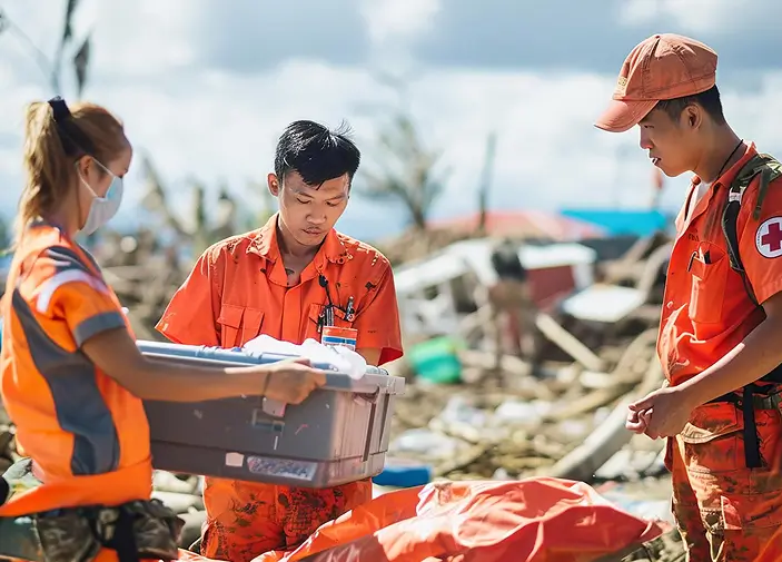
Get a live view of disaster response teams, relief field workers, and humanitarian teams across multiple emergency locations. Monitor field teams at staging areas, evacuation zones, relief camps, supply corridors, and incident command posts with a single software.
Disaster response and relief worker tracking software helps emergency agencies, humanitarian organisations, and humanitarian mission leads coordinate on-ground responders and relief supply convoys during catastrophic events.
Contact our sales team
×Built for emergency management agencies, humanitarian NGOs, and software partners
An integration-ready mobile platform designed for disaster management authorities, international humanitarian organizations, civil defense agencies, and software resellers to monitor relief responders, coordinate emergency supply drops, and verify damage assessments in real time.
Challenges in coordinating disaster relief workers and emergency response teams
Managing large-scale disaster response teams across incident zones, temporary shelters, and remote emergency sites becomes difficult without live workforce visibility. Furthermore, delays in emergency site situation reporting, unmonitored responder movements, and relief supply issues create critical operation gaps.
Manage your disaster response and relief teams in real time
Coordinate emergency deployments, monitor supply missions, track responder movements, and maintain multi-zone coverage with live emergency field team tracking software.
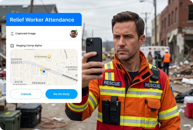
Track emergency responders’ presence at assigned disaster relief locations
Reduce manual attendance records and delayed response confirmations with an advanced attendance tracking system. Track relief workers presence at assigned relief camps, temporary shelters, and emergency locations.
-
Geofenced relief worker attendance monitoring -
Real-time emergency responder on-site presence -
Face-scan and AI-based attendance recording
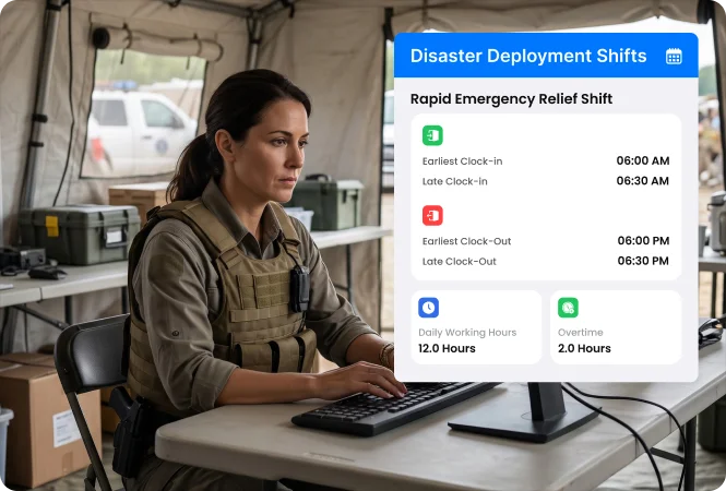
Schedule responder operational periods and evacuation rosters based on disaster priority
Assign relief worker shifts based on disaster response activities, rescue specialisations, emergency locations, and responder availability via an automated shift scheduler. Quickly reallocate relief teams during urgent public evacuations.
-
Automated shift scheduling for relief field teams -
Skill-based disaster rescue specialist shift assignments -
Quick responder reassignments during urgent evacuations
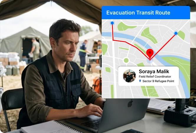
Track emergency supply field teams travelling across disaster zones
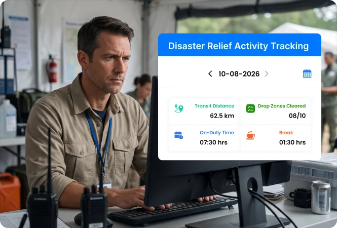
Monitor relief teams travelling between relief camps, supply points, warehouses, temporary shelters, evacuation centres, and isolated communities. Identify relief supply distribution travel delays using a route tracking system.
-
Multi-sector emergency supply route monitoring -
Odometer-based disaster responder distance tracking -
Live relief team checkpoint tracking via journey planner
Track active responder locations and emergency relief distribution progress live
Track active food, water, and emergency aid distribution, temporary shelter setups, and disaster responder movements from a live activity tracking dashboard. Monitor relief teams and emergency responders across red, orange, and green zones.
-
Disaster relief field team live location tracking -
Emergency aid distribution team route monitoring -
Real-time active disaster assessment activity records
Verify completed relief aid distribution with real-time proofs
Replace manual relief activity confirmations with real-time proofs from assigned disaster zones. Collect geotagged and timestamped photos of food drops, clean water supplies, medical kit deliveries, and temporary shelter setups.
-
Geo-tagged proof of completed relief aid distributions -
Time-stamped media captures of rescue operation progress -
Real-time, verified camp-level material handover records
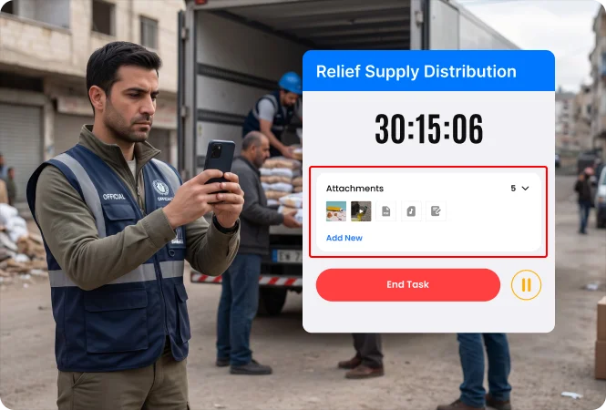
Track expenses incurred during emergency disaster relief field deployments
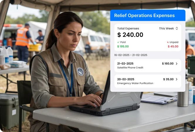
Monitor field expenses related to emergency supply handovers, machinery rentals, shelter setup costs, and equipment repairs during disaster response operations. Approve submitted expenses by tallying them with real-time receipt captures.
-
OCR-based expense receipt capture by relief teams -
Geo-tagged temporary shelter setup expense submissions -
On-ground disaster equipment repair expense reimbursements
Receive responder emergency alerts and secondary disaster emergency reports in real-time
Allow disaster response workers to trigger SOS alerts when facing flash floods, structural collapses, secondary landslides, or physical entrapment. Receive real-time responder location coordinates and hazard details on your live tracking screen.
-
One-tap SOS emergency responder alerts from disaster sites -
Real-time relief supply team incident location monitoring -
BLE-enabled rescue worker safety alerts from disaster
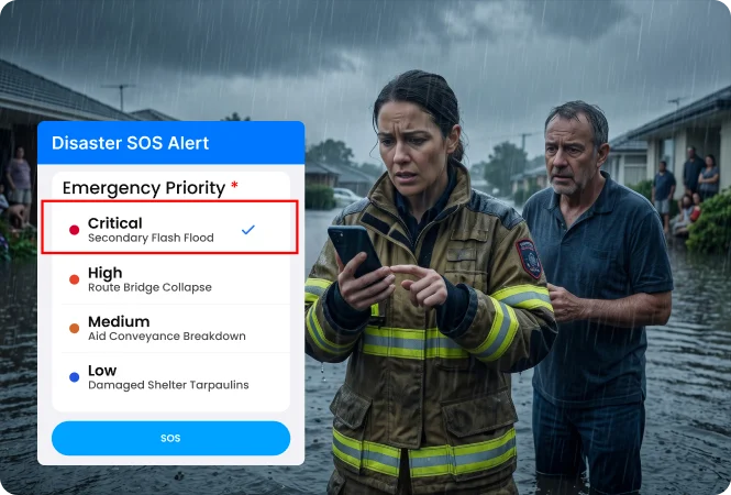
Coordinate incident commander-to-responder working across active disaster zones
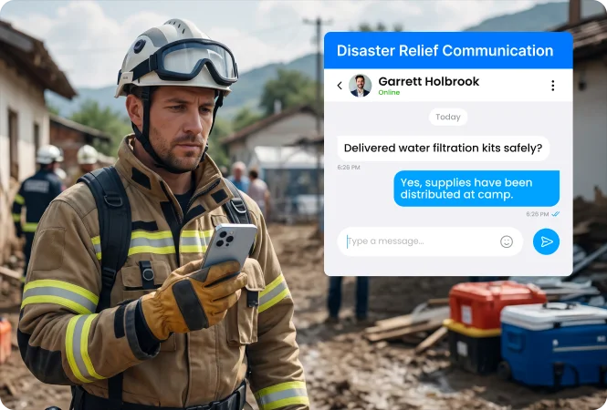
Maintain direct communication between incident commanders, relief field workers, and emergency responders through a secure internal chat app. Instantly receive updates on rescue operations progress, emergency shelter setups, and relief supply activities.
-
Instant emergency service command instruction sharing -
Secure relief supply and rescue mission progress reports -
Multi-agency response communication history records
Share revised disaster field response instructions and relief supply route guidance
Send revised evacuation boundaries, weather warnings, safe route advisories, and updated standard operating procedures with relief field teams. Track acknowledgement of announcements during critical disaster field operations.
-
Zone-wide emergency safety protocol sharing -
Restricted-zone evacuation route instructions -
Read-receipt tracking for disaster response coordination
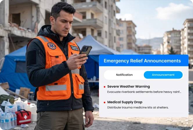
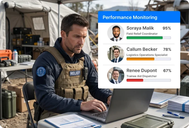
Measure disaster relief workforce execution across assigned response missions
Evaluate disaster relief workforce performance using a star-based performance tracking dashboard. Analyse assigned versus completed rapid needs assessments, shift punctuality, and muster compliance across disaster response assignments and relief operations.
-
Star-based performance tracking for emergency responders -
Zone-level disaster assessment specialist productivity analysis -
Assigned vs completed relief supply delivery activity tracking
Record emergency responder and aid distributions across communication-blackout disaster zones
Enable relief staff to mark attendance, log damage assessments, and capture distribution proofs without an internet connection. Auto-sync service records captured inside valleys, remote mountain areas, or communication-blackout disaster zones once connectivity returns.
-
Offline-recorded situation assessment verification proofs -
Auto-synced relief supply distribution data from remote zones -
Offline emergency responder evacuation activity recording
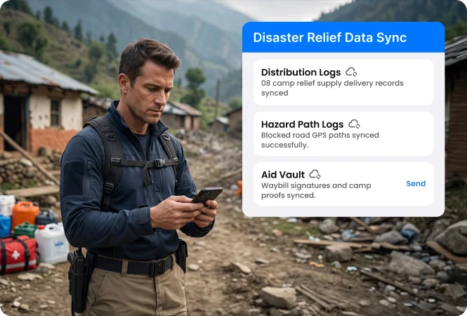
Scalable responder tracking software for disaster management networks
An enterprise-ready platform built for disaster response workforce management. It enables flexible system deployments for response agencies and white-label implementations for system integrators.
Measurable outcomes for disaster response directors and emergency mission heads
Improved disaster response team location monitoring
Faster relief field team ground deployment coordination
Reduced disaster response team attendance mismatches
Reduced relief supply distribution delays across disaster zones
* Performance improvements mentioned are indicative results observed by certain users. Actual outcomes depend on workforce size, operational workflows, implementation scope, and business requirements.
Ensure timely response during emergency relief missions with real-time responder tracking software
Contact our sales team
×
Frequently asked Questions
Got queries? Check out the common FAQs below for complete clarity and get started with confidence!
Disaster response and relief team tracking software is a mobile platform that monitors humanitarian relief workers, emergency search-and-rescue teams, and rapid assessment specialists in real time. Using GPS route tracking, geofenced relief camp check-ins, digital aid distribution run-sheets, and timestamped damage assessments, it verifies supply drops and accelerates emergency response coordination.
TaskEye enables emergency coordinators and mission directors to track response teams through a centralized web console. Supervisors can monitor real-time responder GPS coordinates, convoy route adherence across disaster sectors, geofenced check-ins at staging areas, and active relief camp operations in real time.
TaskEye enforces location-locked activity verification. Responders cannot complete a supply distribution record unless their mobile device's live GPS coordinates match the designated relief camp or evacuation center geofence. Teams capture timestamped, geo-tagged photos of supply drops, inventory handovers, and camp manager digital signatures directly within the app.
Coordinators use TaskEye’s automated scheduling module to dispatch assessment specialists to newly impacted sectors based on responder proximity and safe access corridors. Specialists record on-ground Multi-Cluster Initial Rapid Assessment (MIRA) forms on their phones, allowing command centers to review structured damage data within minutes.
Yes. TaskEye features an automatic offline caching mode. When responders operate in deep river valleys, landslide-hit mountains, or storm-damaged zones with zero cellular connectivity, they can still record damage evaluations, log supply distributions, and take photo proofs. All data stores securely on the device and syncs automatically once satellite or mobile connectivity is re-established.
TaskEye eliminates manual expense claims by calculating actual distances traveled using continuous GPS breadcrumb tracking and vehicle odometer validation. Responders submit fuel, transit, and emergency supply receipts using the app’s built-in OCR scanner, allowing finance teams to audit claims against verified route histories and eliminate inflated reimbursement claims.
TaskEye includes a built-in mobile SOS emergency trigger and supports Bluetooth Low Energy (BLE) panic devices. If a field team encounters secondary hazards such as flash floods, structure collapses, or route cut-offs, triggering the SOS alert instantly transmits their exact GPS coordinates and situational details to command centers for immediate rescue dispatch.
TaskEye compiles field data into centralized performance dashboards, tracking key emergency KPIs such as daily aid distribution completion rates, average needs assessment turnaround times, staging area muster compliance, and operational period coverage. These analytics help emergency leaders identify coverage gaps and optimize relief resource distribution.
Yes. Emergency response software providers, civil defense consultancies, and IT system integrators can deploy TaskEye as a 100% white-labeled solution under their own brand, logo, and custom domain. Partners can package TaskEye's mobile responder tracking, digital SITREP forms, and tamper-proof verification tools alongside their emergency platform to generate predictable recurring SaaS revenue.
TaskEye provides open REST APIs and webhooks that integrate smoothly with enterprise Emergency Operations Center (EOC) platforms, CAD systems, and humanitarian logistics databases. Staging area boundaries, disaster zone perimeters, and emergency response assignments sync directly to the responder’s mobile app, while completed situation reports, timestamped media, and verified GPS trails flow back into your central command database in real time.